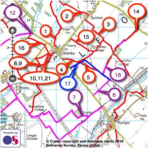
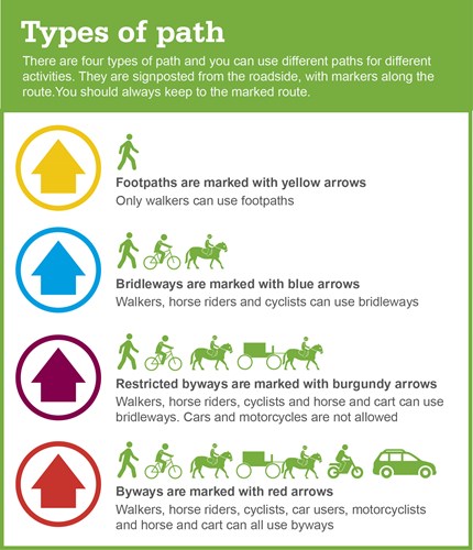
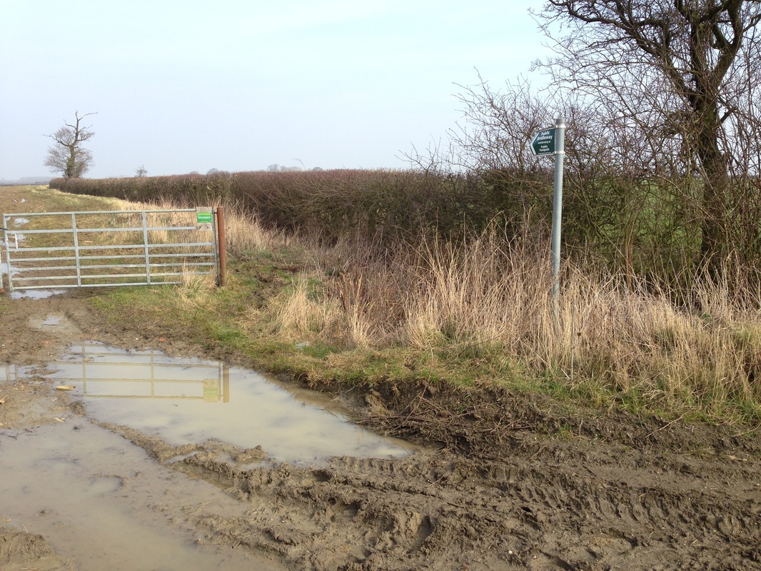
Public Rights of WayA variety of footpaths, bridleways, and byways open to all traffic around our parish are described below and a not definitive overview can be seen on our website. They provide opportunities for walkers and horse riders to enjoy the local countryside. Access for horseriders is limited to Bridleways 6, 7, 12, 18 and BOAT 17 only.
An order has been made to modify the Definitive Map and Statement for our Parish by adding to the bridleway commencing from a point, SK 76853614, on the Nottinghamshire – Leicestershire county boundary adjacent to Jericho Covert and proceeding for a distance of approximately 320 metres to a point, SK 76983640, on the county boundary adjacent to Jericho Covert, and the bridleway commencing from a point, SK 77243659, on the county boundary adjacent to a spinney north-east of Jericho Covert and proceeding for a distance of approximately 560 metres to a point, SK 77633699, at the junction with the Redmile road as shown on the Order Map. This adds Bridleways 19 and 20 to our Public rights of Way. Click the links to read the order and view the map online. Many paths go across or around fields that contain crops or have been ploughed and may be uneven or muddy. Public paths should be clear from obstruction and fences, gates and stiles must be in good condition, easy to open and unlocked.Walkers exercising along the public rights of way around Granby and Sutton are reminded that it is really dangerous to feed horses with allergies and that many plants are poisonous eg. Yew and grass cuttings. If you find a problem with one of our public rights of way, then report it online to Nottinghamshire County Council. |
|
|
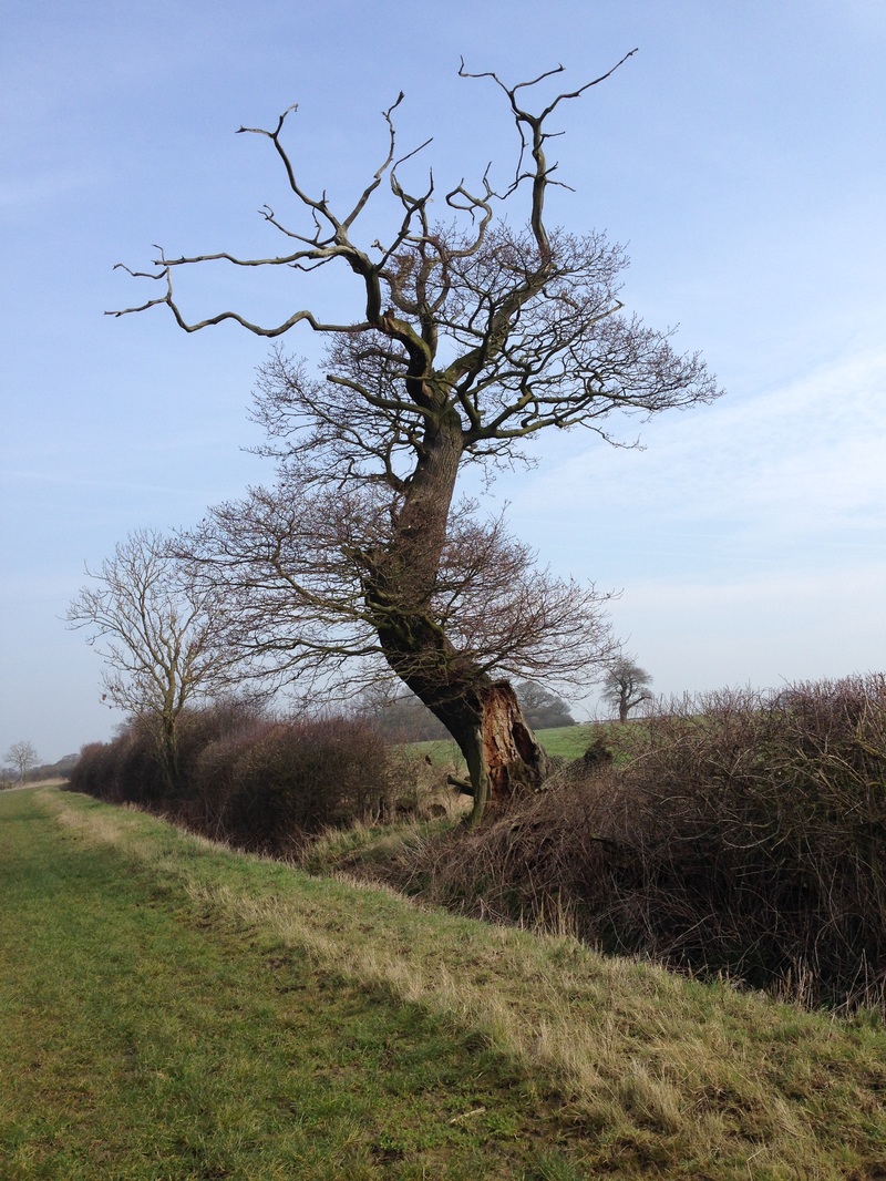
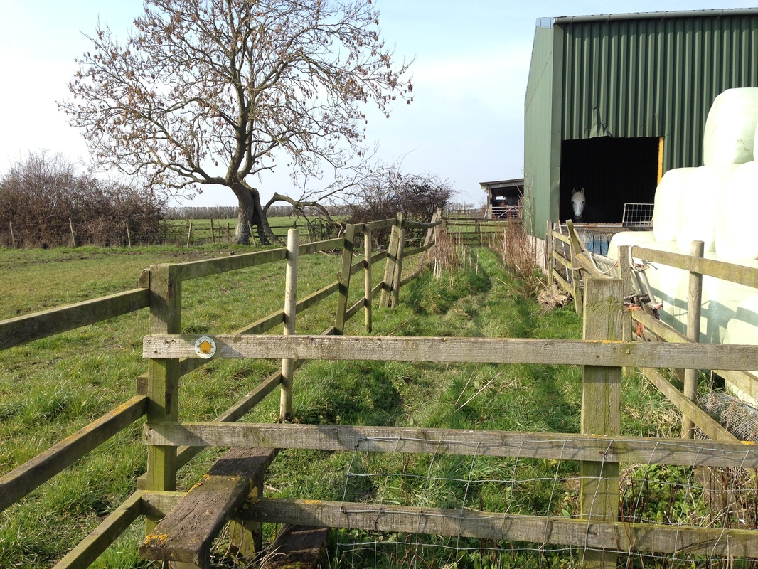
Photographs and observations of each public right of way in our parish were made in March 2016 when the ground was wet, muddy in parts and soft underfoot.
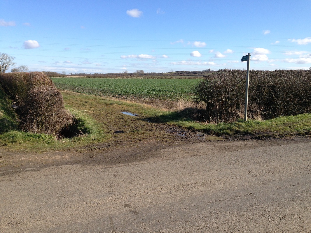
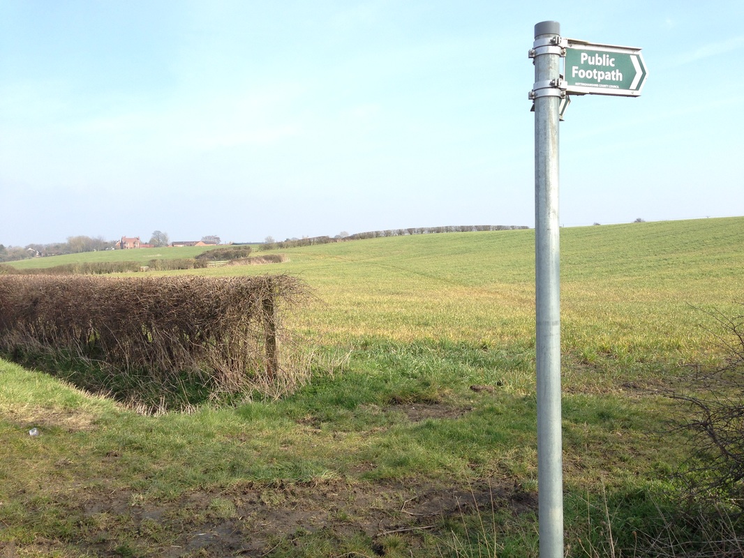
FootpathFP 1
1.26 km Green Lane to Moor Dyke |
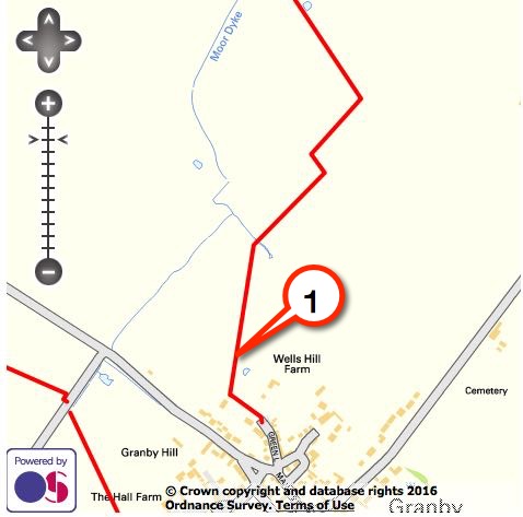
Click here for a downloadable route.
|
|
Enter FP 1 through the pedestrian gate at the end of Green Lane and immediately turn left along a short wooded path.
Once through the pedestrian gate turn diagonally right towards the second gate from the bottom of the hill, and follow the footpath marked with yellow topped posts.
Pass through a pedestrian gate and keep to the left in the next field.
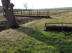
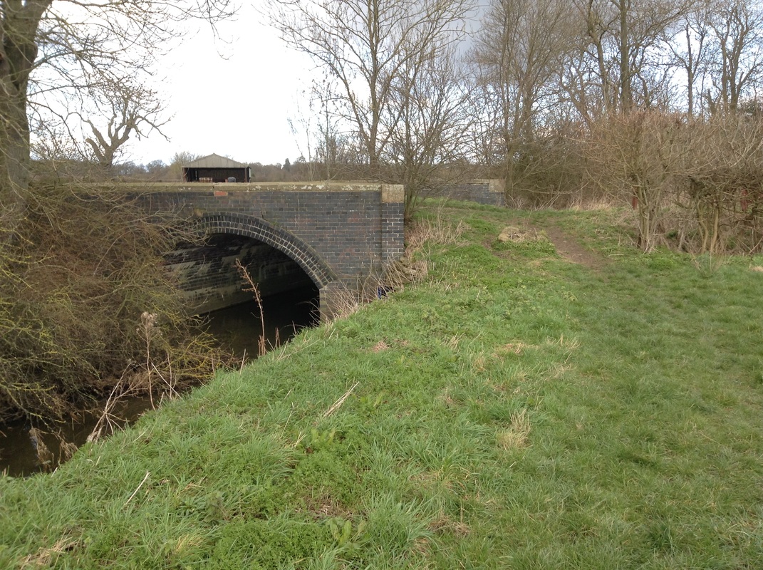
Continue past the corner post and over a bridge across Moor Dyke.
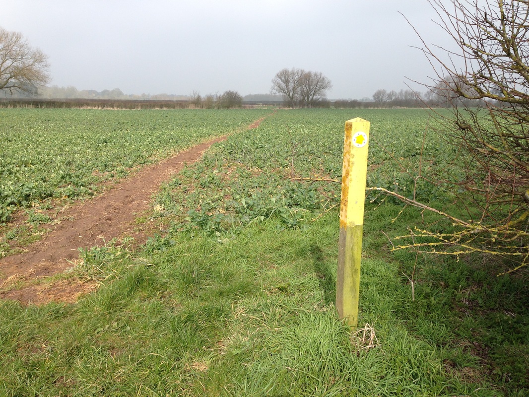
A clearly marked footpath through the crops leads to a pedestrian gate at the parish boundary where another footpath continues to Whatton.
|
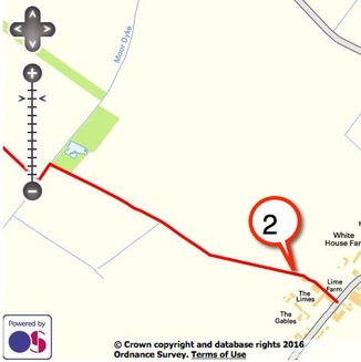
FootpathFP 2
0.84 km Sutton Lane to Moor Dyke |
|
|
Access the footpath through the gate on Sutton Lane opposite Poplars Farm and follow the footpath downhill to the left.
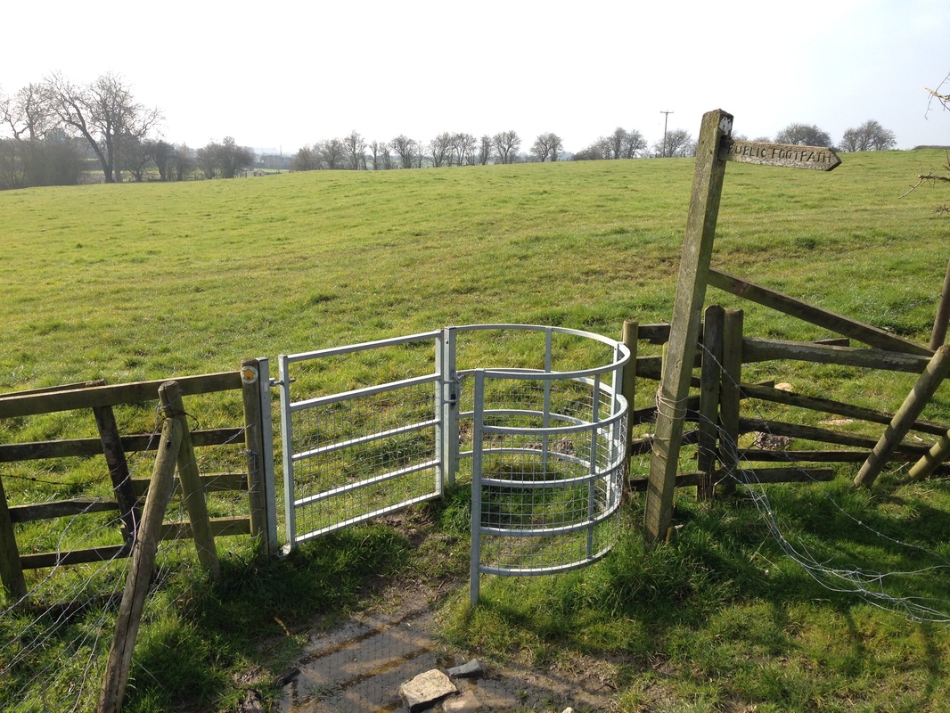
Cross the stile and through a gate in the corner and two further gates.
The short path through the woods leads to a wooden bridge over Moor Dyke at the parish boundary and another footpath towards Whatton.
|
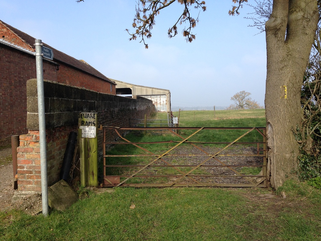
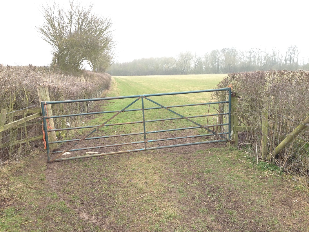
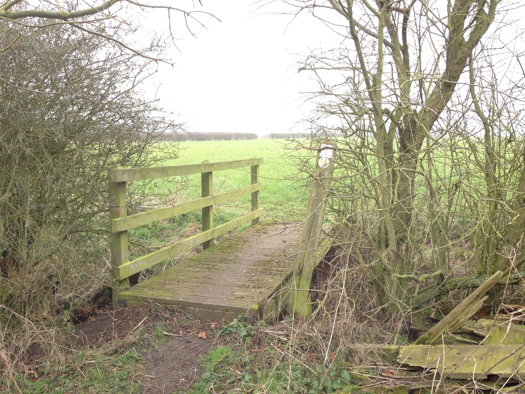
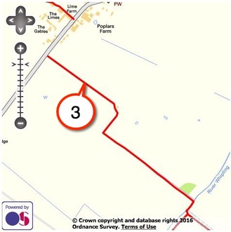
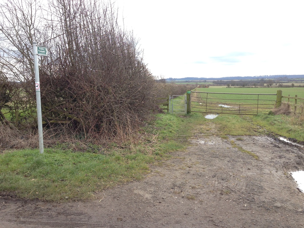
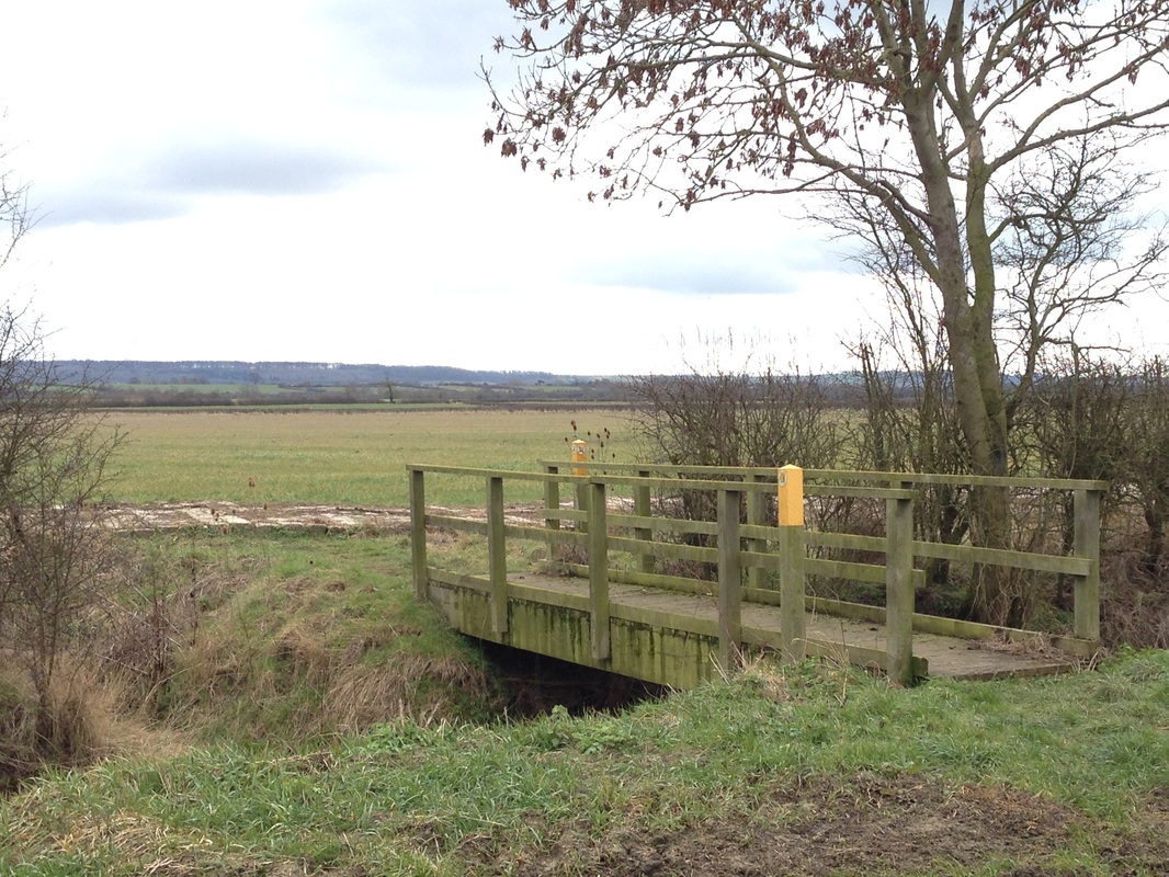
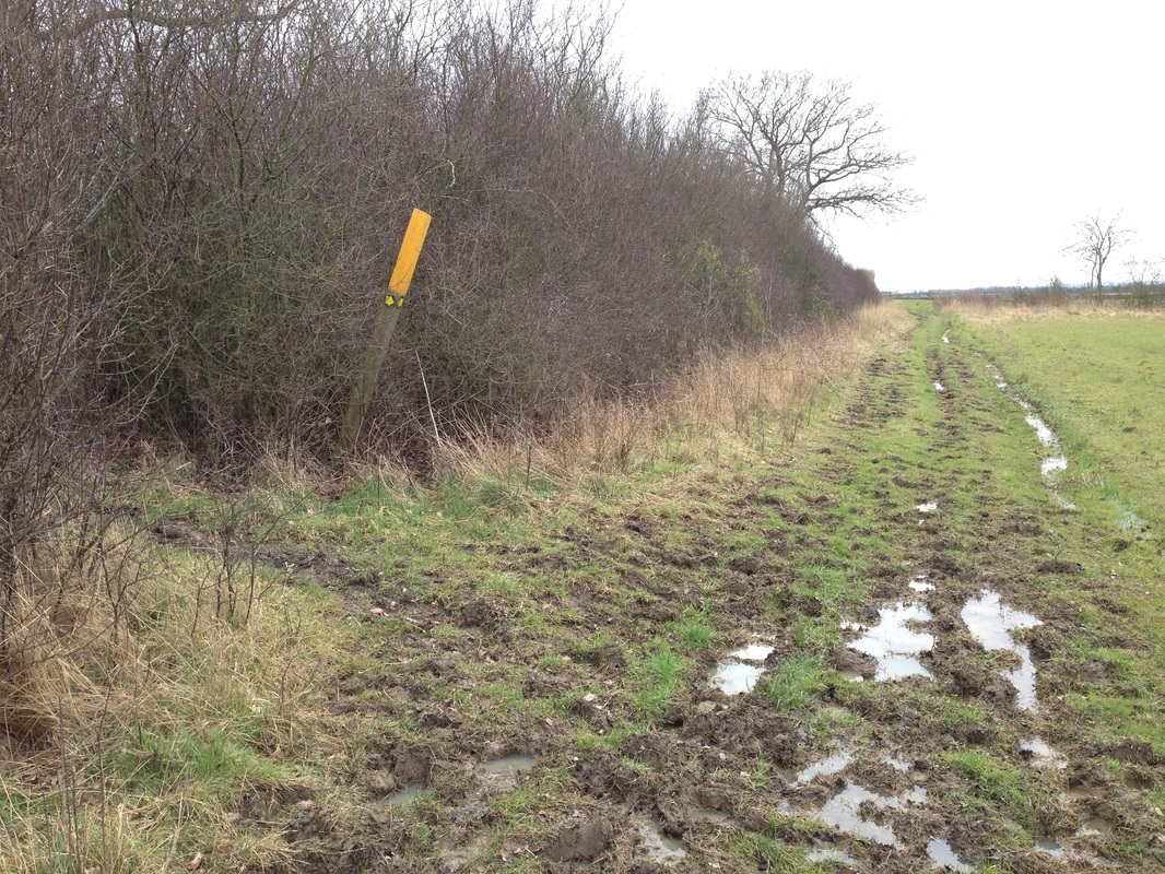
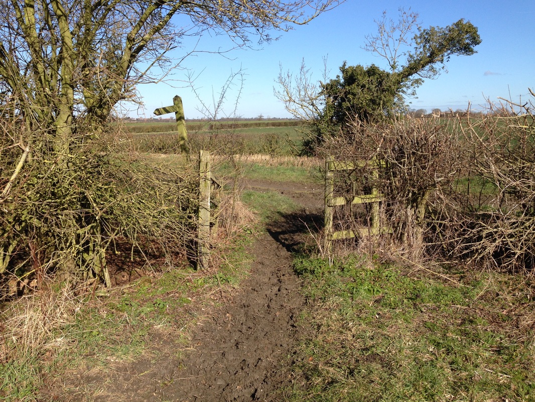
FootpathFP 3
1.61 km Sutton Lane to to Jericho Covert |
|
|
Once through the pedestrian gate, keep the hedge to the left until you pass an agricultural ruin then follow the footpath towards a game pen in the right hand corner of the field.
Cross the bridge over the River Whipling, where FP 4 joins on the right.
Walk straight on, past the red topped post indicating a buried High Pressure Gas Line, and turn diagonally right at the yellow marker post towards the end of FP3 on the parish boundary where it joins FP14 just before the footpath towards Barkestone.
|
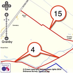
FootpathFP 4
1.15 km Plungar Road to FP3 at Jericho Covert |
|
|
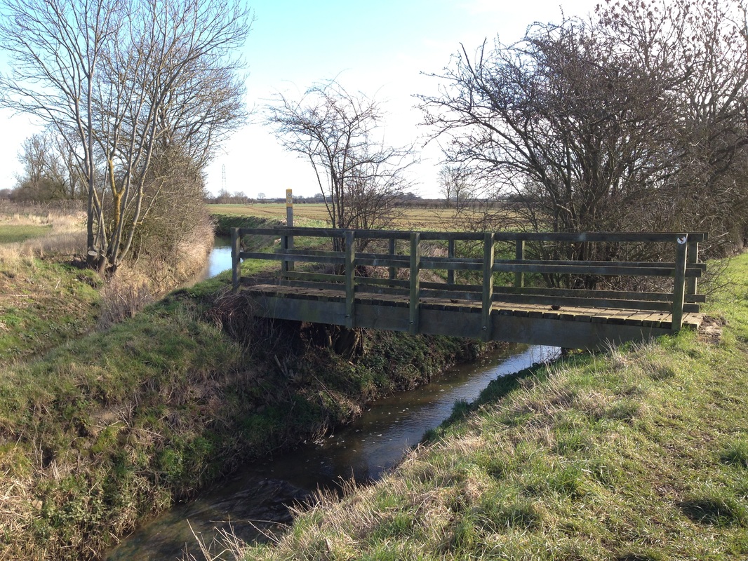
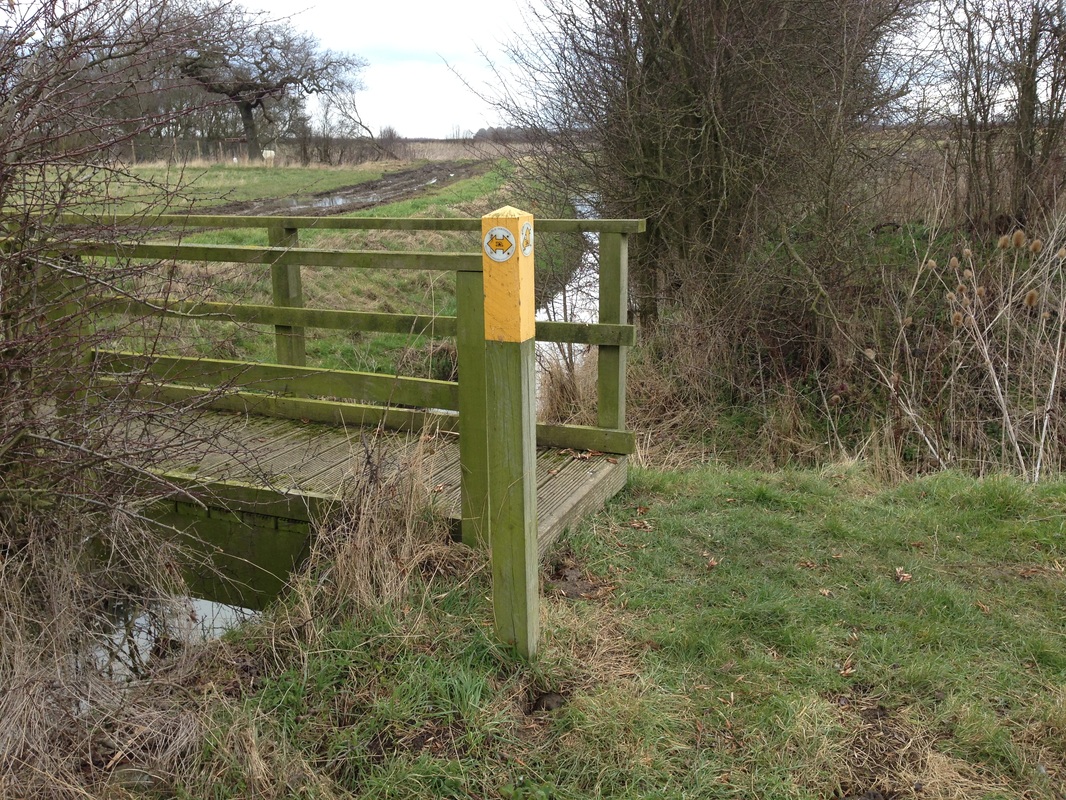
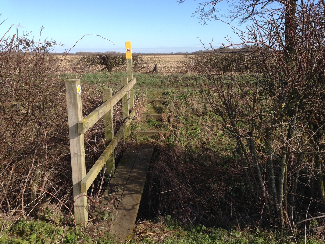
Just before exiting Granby on Plungar Road, turn left down the steps onto the footpath, following the edge of the field until reaching the signposted bridge over a field drain.
Either turn right onto FP 5, or continue ahead on a route clearly marked across 2 fields and 2 wooden bridges.
Leaving the River Whipling to the left, continue past Granby Lodge Farm until reaching the bridge and junction with FP3.
|
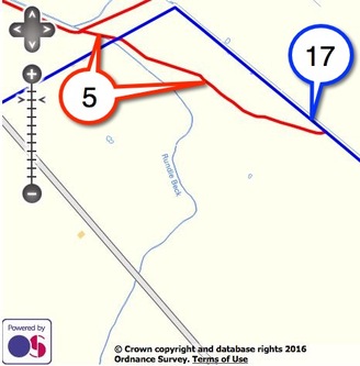
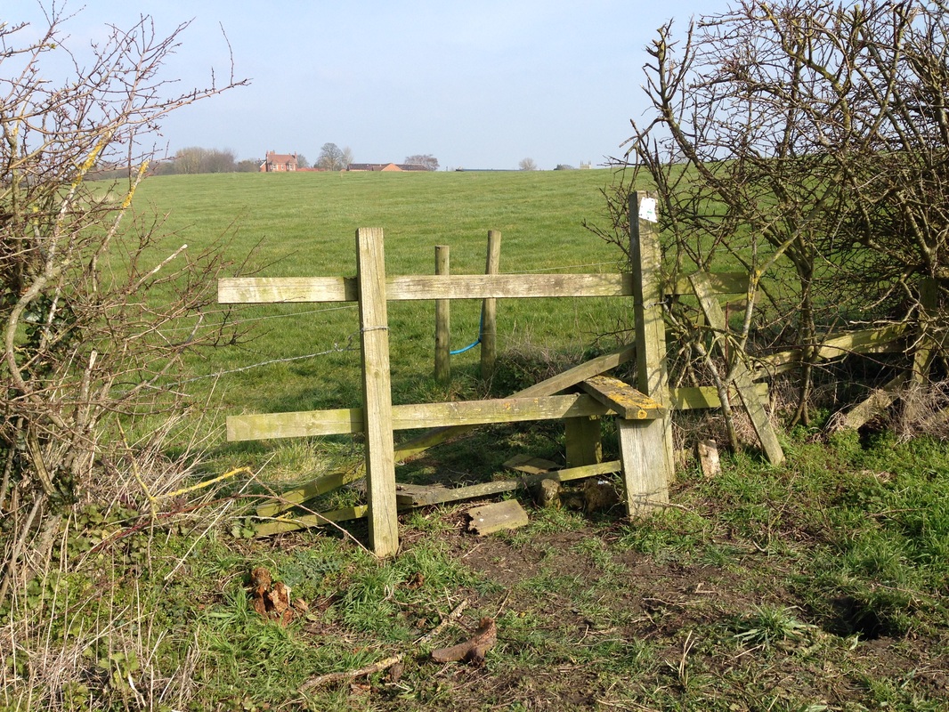
FootpathFP 5
0.72 km From FP4 to BOAT 17 |
|
|
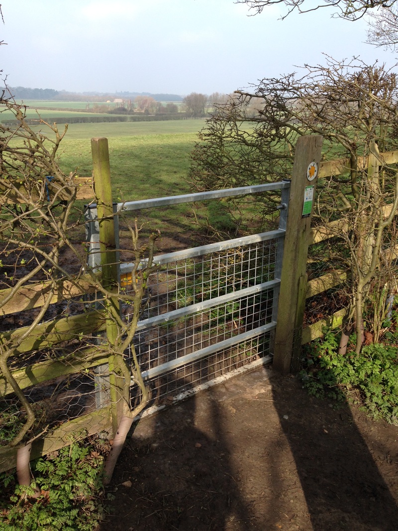
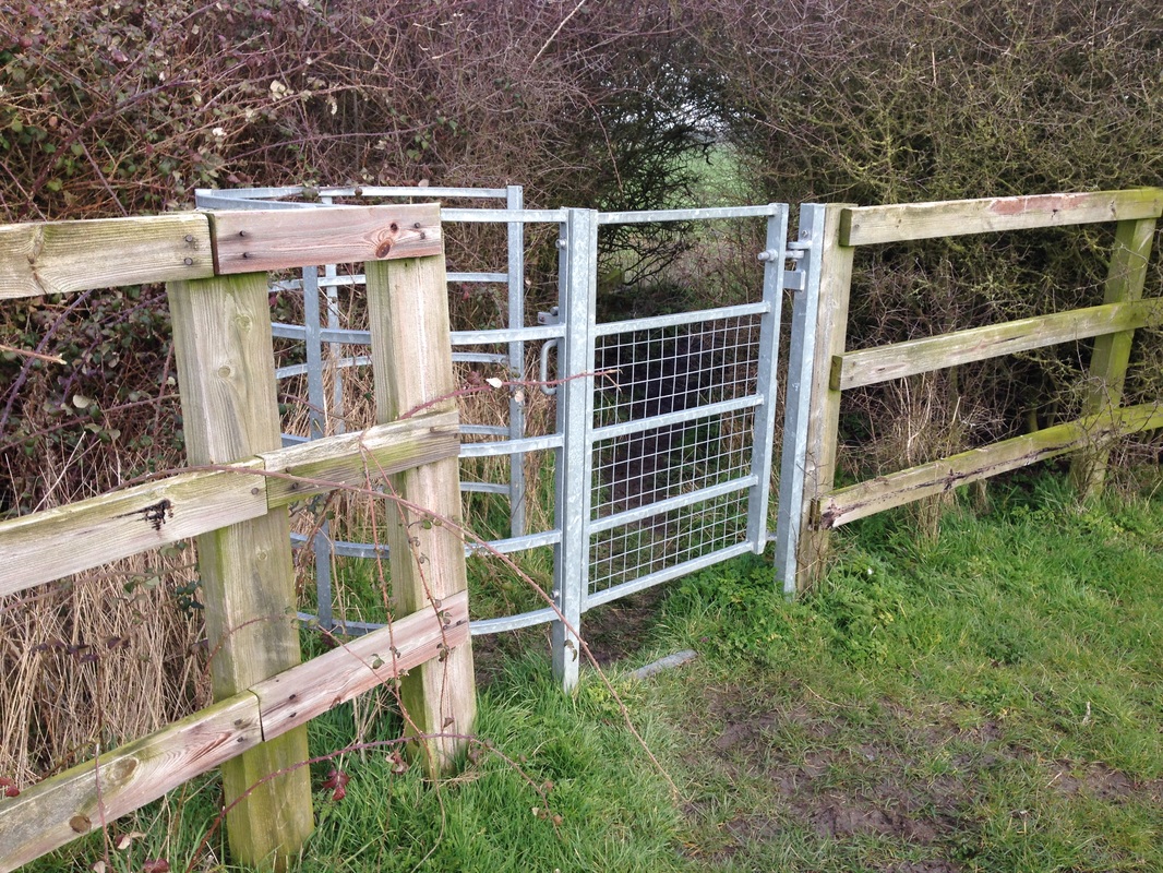
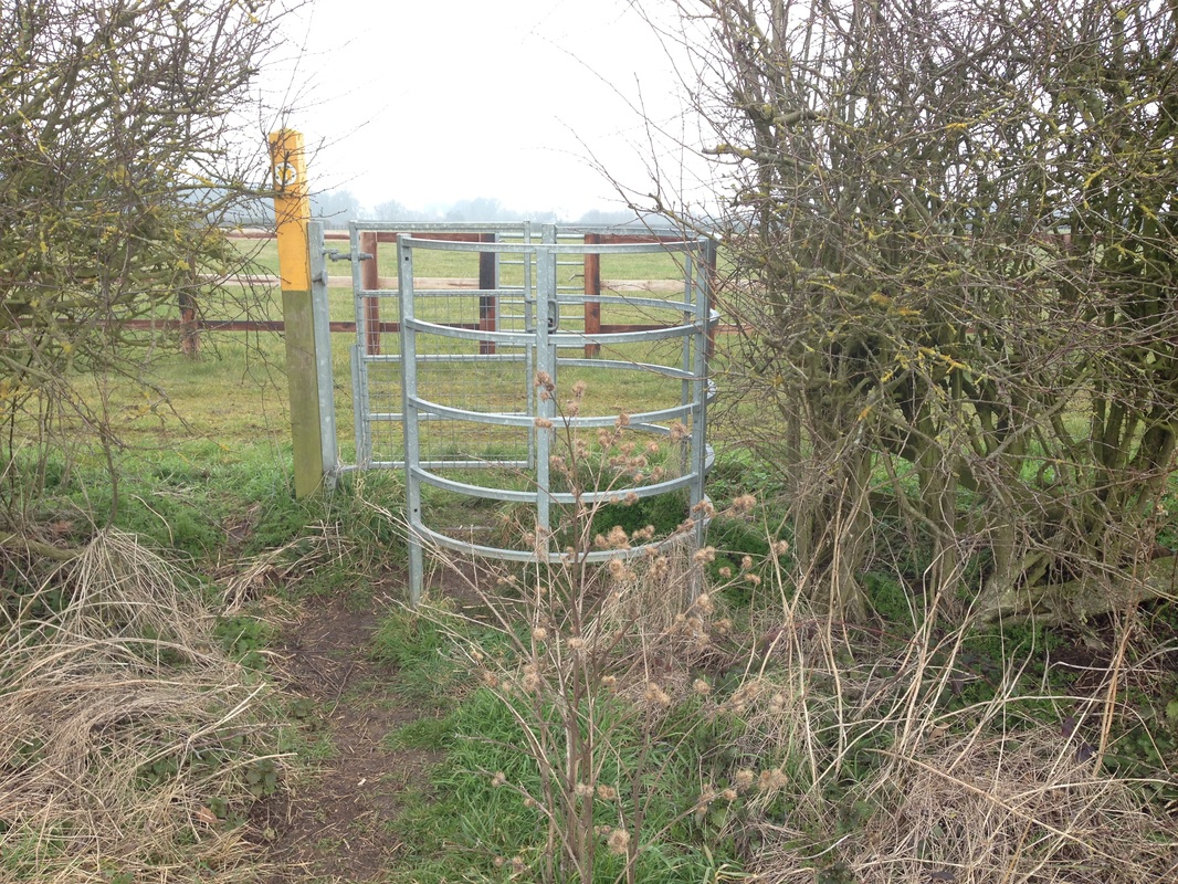
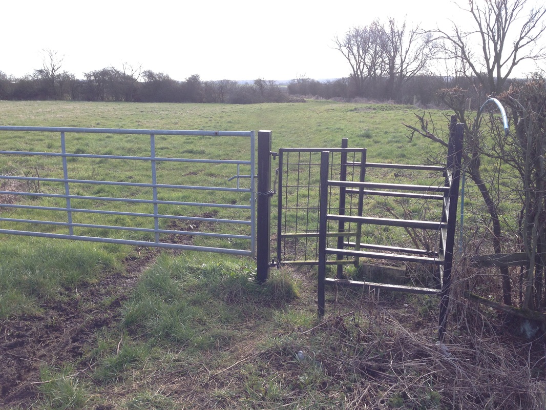
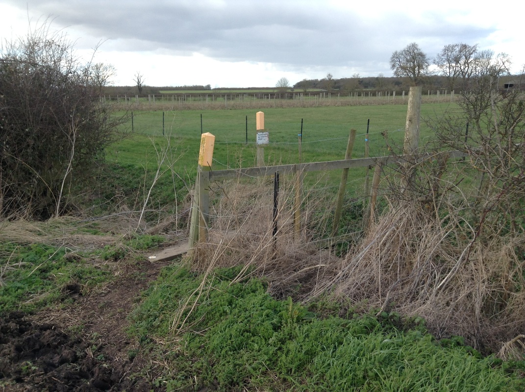
From the junction with FP4, cross over BOAT 17 (Old Barkestone Lane) and through the pedestrian gate.
The footpath which cuts the corner off BOAT 17, is clearly marked with an easily managed wooden stile mid-way along.
|
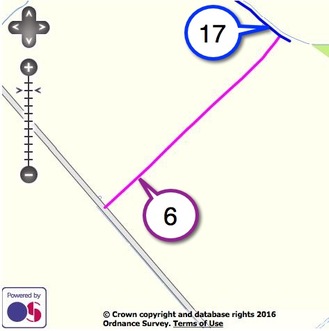
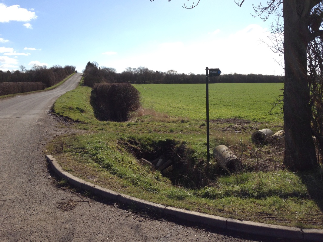
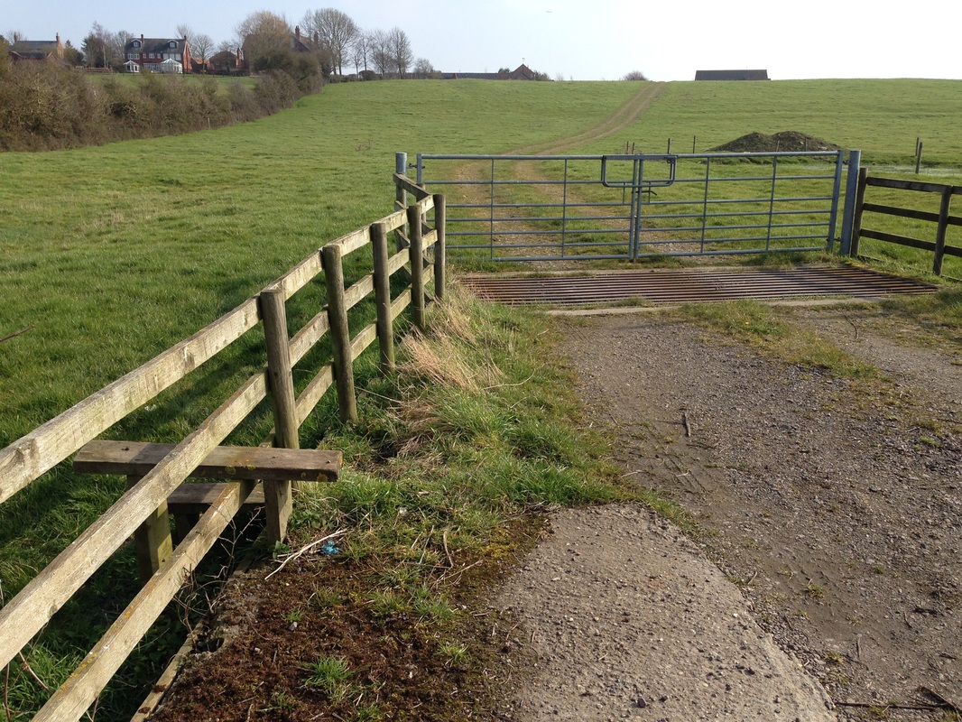
BridlewayBW 6
0.71 km Plungar Road to BOAT 17 |
|
|
Entered on the left from Plungar Road, this well used bridleway leads to BOAT 17 (Old Barkestone Lane).
At Old Barkestone Lane turn left for Granby or right towards Barkestone.
|
BridlewayBW 7
0.36 km Edge of Granby Gap joining LG47a/2 and LCB BW14 |

|
|
Accessible from Plungar Road just before you reach the railway bridge, take the Plungar parish bridleway signposted to Barnstone.
When the track splits, take the right fork along a tree line towards Granby Gap.
BW 7 finishes at the gate although the bridleway continues to the right.
|
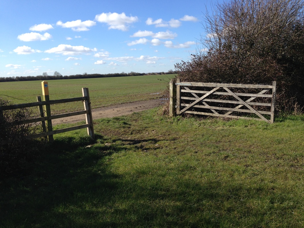
FootpathFP 8
0.28 km Barnstone Lane to FP9 at Station Farm |
|

|
Taking the footpath from Barnstone Lane, and leaving FP 10 to the left, walk straight up the hill ahead.
At the brow of the hill, walk in the direction of the old bridge, where, at the parish boundary, FP 9 to Granby goes left and another footpath to Barnstone goes right.
|
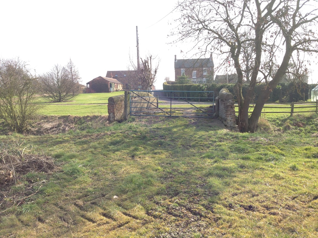
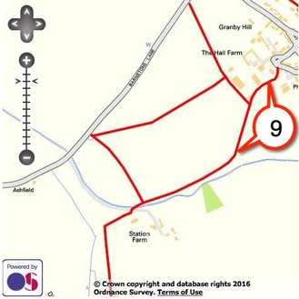
FootpathFP 9
0.67 km Church Street to Station Farm |
|
|
Pedestrian access to this footpath is tucked away in the corner of a muddy track.
Continue towards the gate leaving the stables to the right. Then follow the footpath to the left passing through 2 aluminium gates.
The footpath finishes at the parish boundary near Station Farm where FP 8 and another footpath to Barnstone join.
|
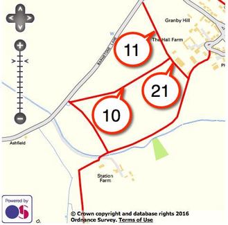
FootpathFP 10
0.48 km Barnstone Lane to FP11 and FP21 at The Hall Farm |
|
|
At the entrance to the field on Barnstone Lane, turn diagonally left and leave FP 8 to the right.
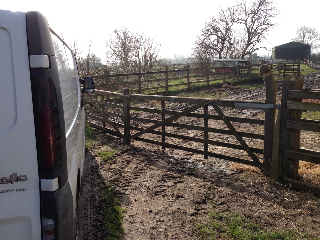
The wooden stile is broken but pole-vaulters will have no difficulty clearing this and the adjacent electric fence. Less able walkers will find it unstable and dangerous.
Walk ahead towards Granby and the yellow topped post indicating the junction with FP11 and FP 21 will be seen over the brow.
|
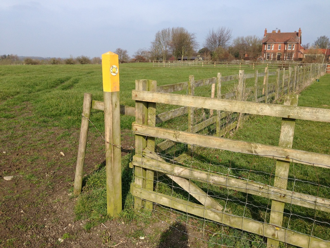
FootpathFP 11
0.26 km Barnstone Lane to FP10 and FP21 near The Hall Farm |

|

|
Cross the stile at the HGV entrance to Hall Farm on Barnstone Road and follow the track to the top of the hill.
Turn right before reaching the bungalow, towards the yellow tipped post indicating the junction with FP 21 and FP 10.
|
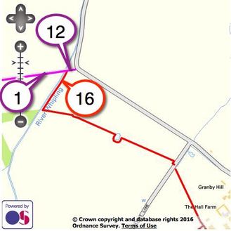
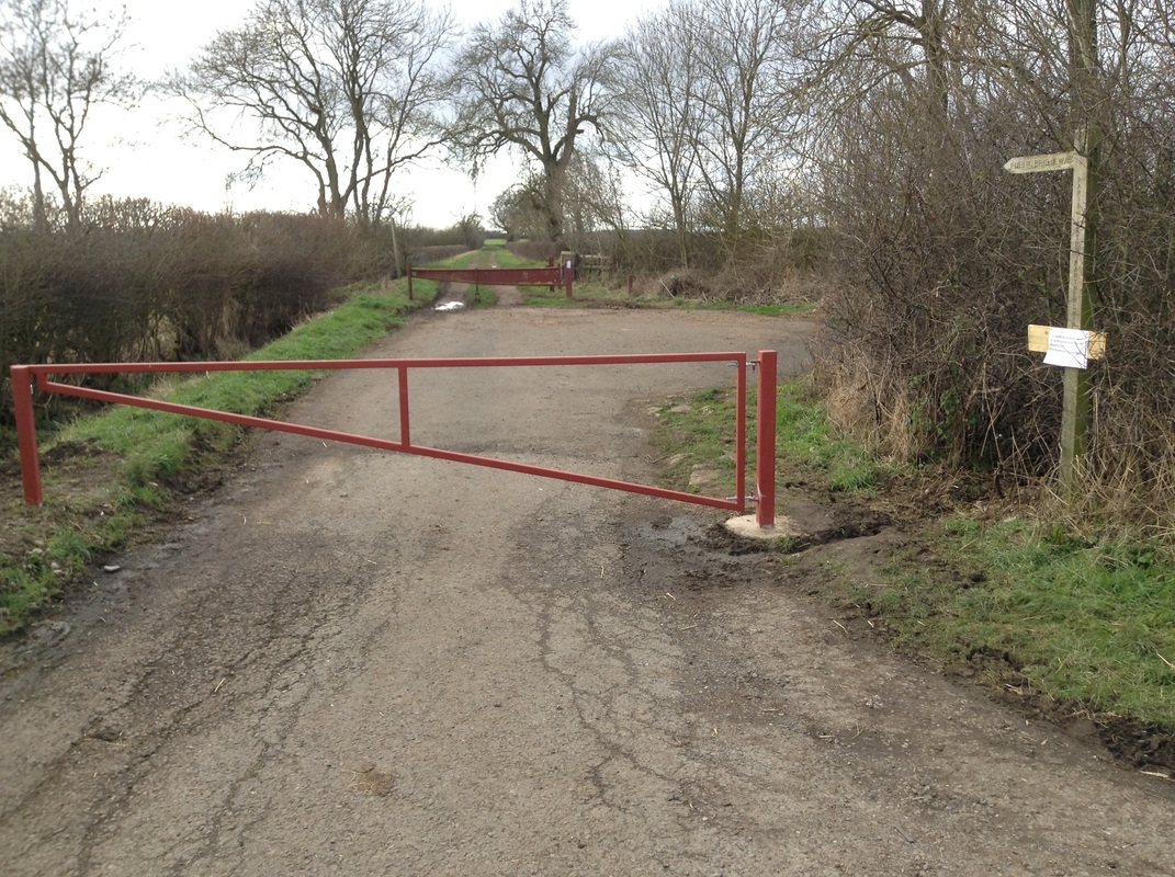
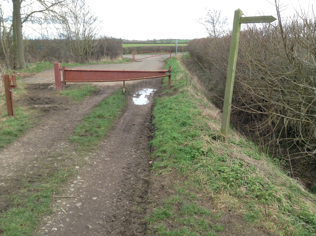
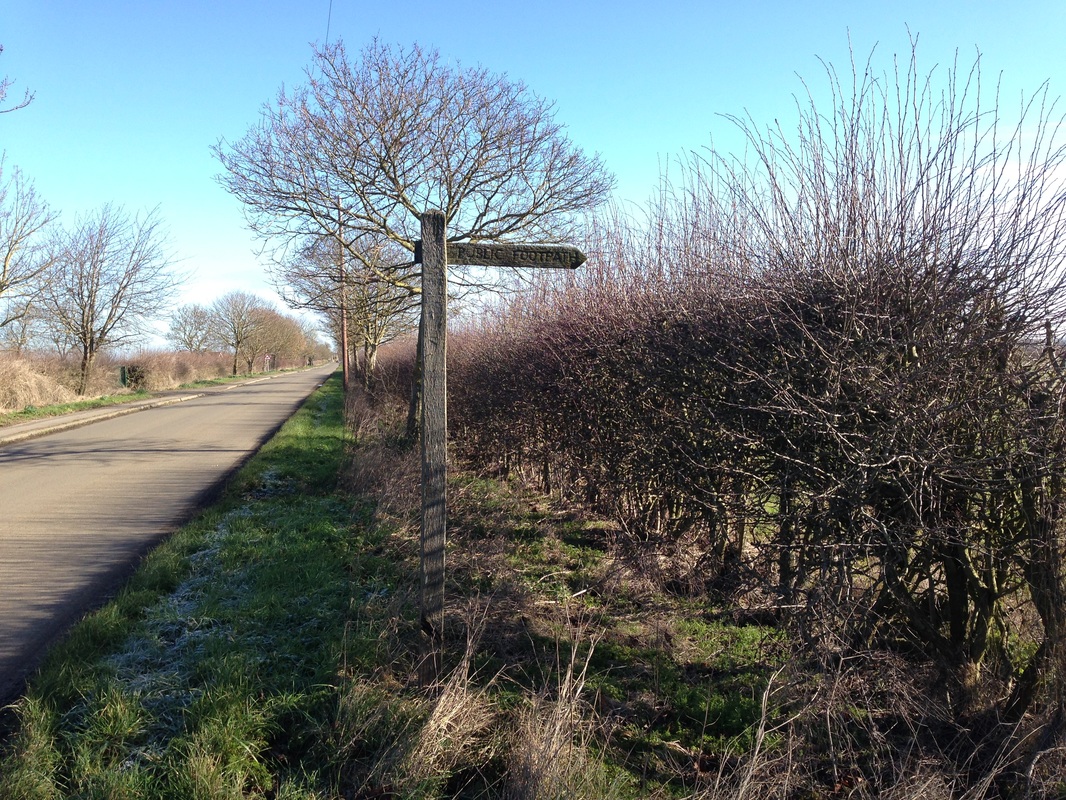
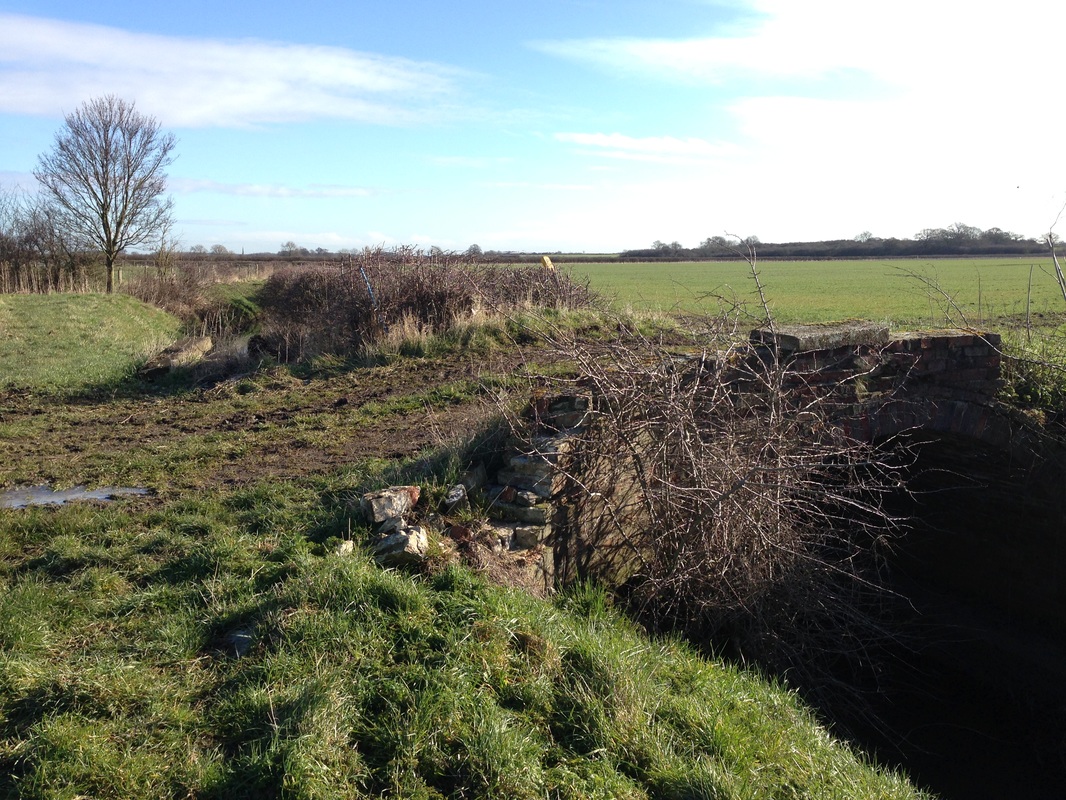
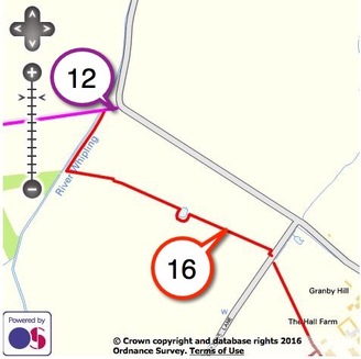
BridlewayBW 12
0.04km Granby Lane to LCB BW1 at River Whipling and FP16 |
|
|
This short length of tarmac and hardcore bridleway is gated to prevent vehicle entry and leads to a bridge across the River Whipling.
Access to FP 16 is clearly signposted from the bridleway.
|
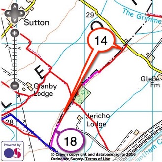
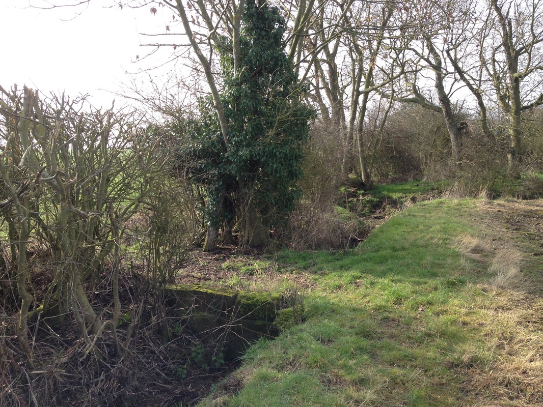
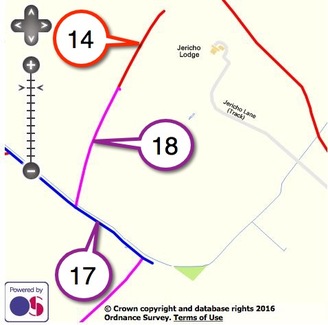
FootpathFP 14
1.33 km Main Road Redmile, opposite Vale Lodge to BW18 beyond Jericho Covert |
|
|
The entrance to this Footpath is opposite Vale Lodge on the Main Road to Redmile.
This route follows the parish and county boundary, weaving in and out of the hedgerow alongside a field drain.
Parts of this route are shared with Leicestershire Bridleways, consequently walkers should take care in muddy conditions. The end of the footpath joins BW 18, before reaching Old Barkestone Lane.
|
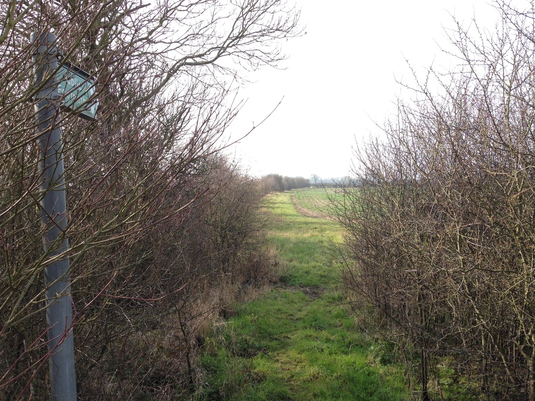
FootpathFP 15
0.86 km Sutton Lane to FP4 |
|
|
The footpath begins at Belvoir Vue on Sutton Lane.
Keep the hedge to the right all the way until you cross a farm bridge over the River Whipling next to Granby Lodge farm to join FP4 left and right.
|
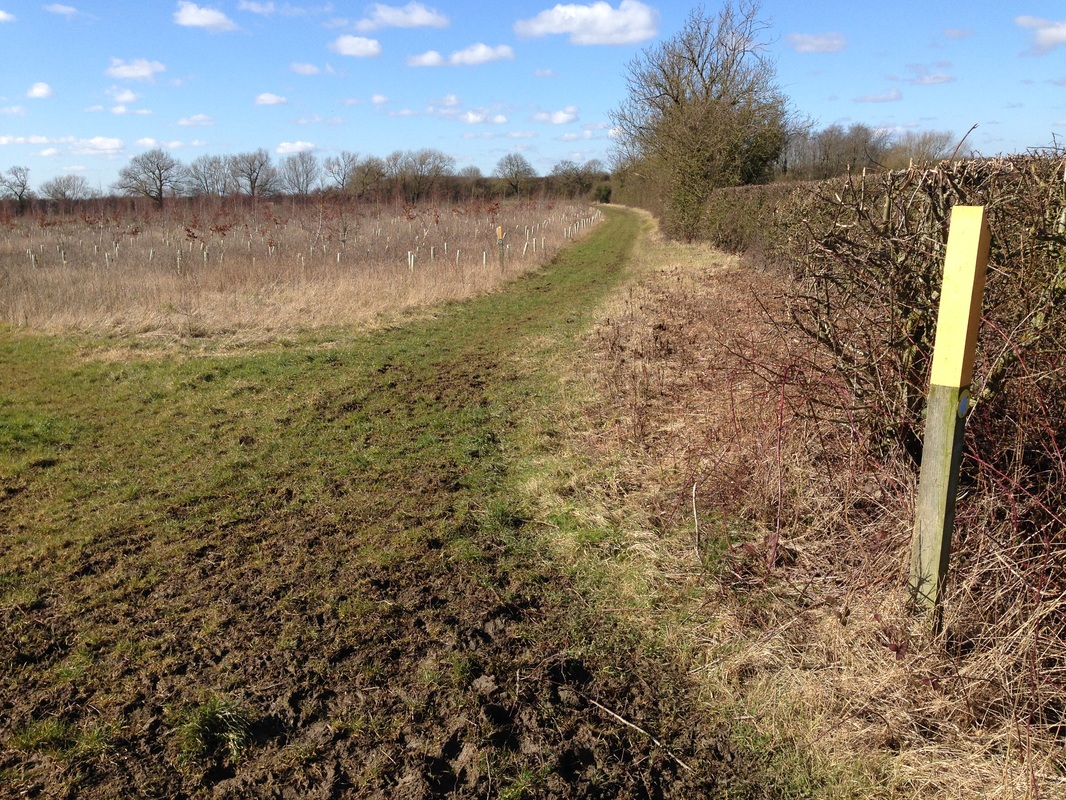
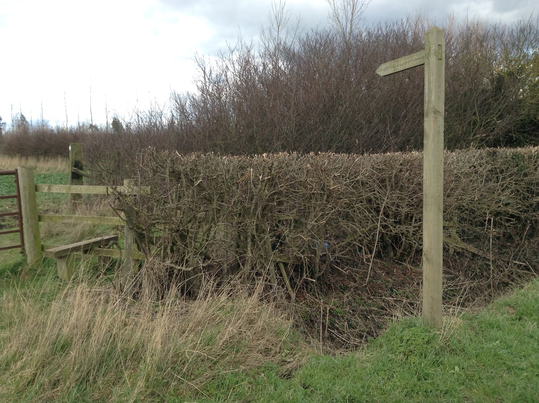
FootpathFP 16
0.84 km Barnstone Lane to BW12 at Granby Lane |
|
|
Accessed over a wooden stile at Barnstone Lane, this footpath is alongside the edge of a field under cultivation.
Cross the drainage ditch at the yellow route marker and turn sharp left.
Keep to the edge of the grass field then follow the River Whipling to join the bridleway at the bridge near Granby Lane.
|
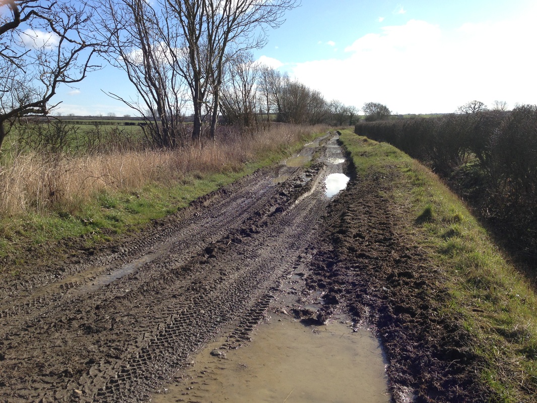
Byway Open To All TrafficBOAT 17
1.05 km Plungar Road towards Barkestone le Vale |
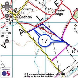
|
|
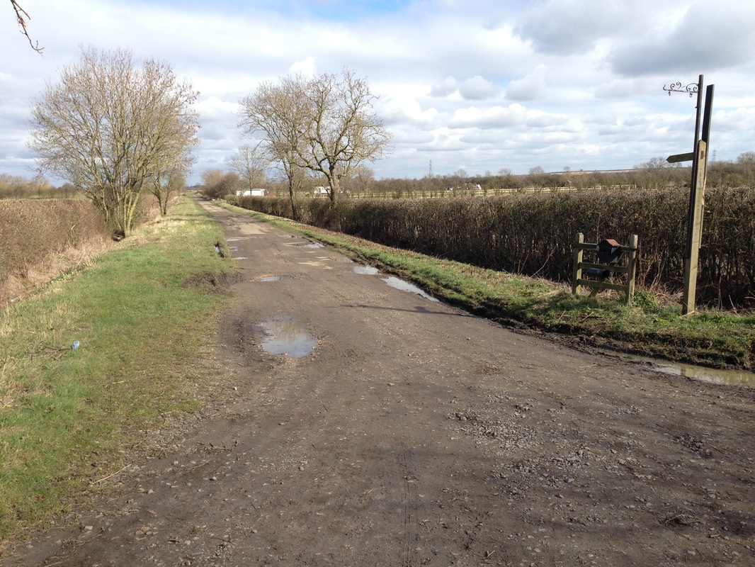
BOAT 17 (Old Barkestone Lane), is accessed from Plungar Road. It is a reminder of school cross-country runs, assault courses or those wishing to be found by the Time Team next century.
Mostly used by farm vehicles, scrambling enthusiasts, horse riders, and those training for the annual Midlands Tough Mudder competition, it is best ignored by walkers.
Difficult to traverse, it should be avoided at any time of year except for those wishing to access BW 18.
|
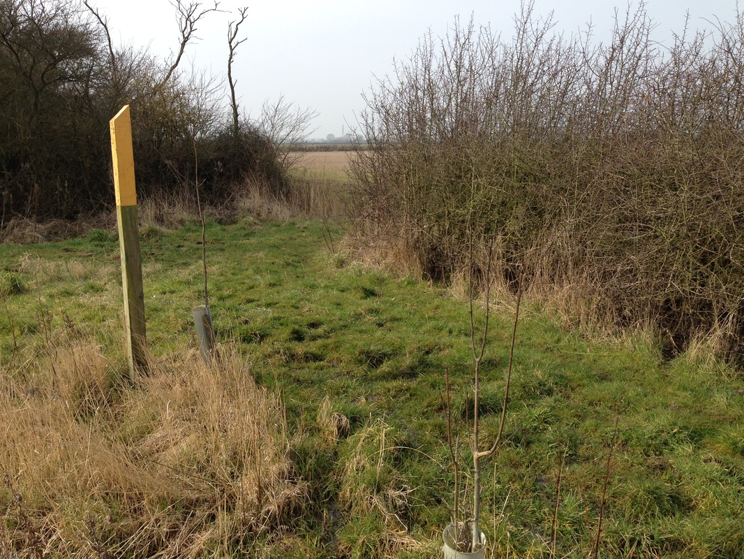
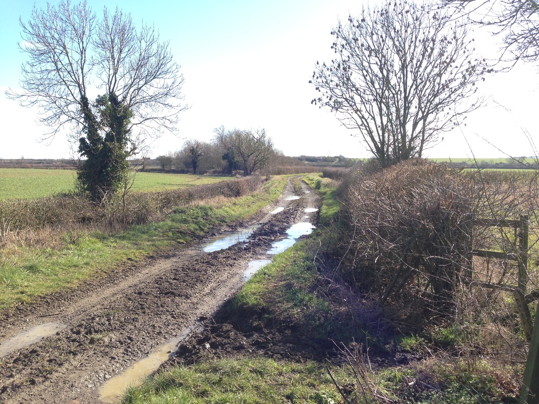
BridlewayBW 18
0.38 km BOAT17 to FP14 |
|
|
From Old Barkestone Lane, turn into the field signposted 'Public Bridleway continuing as Public Footpath'.
This short route passes several ancient trees marking the Parish and County boundary before joining FP 14.
|
FootpathFP 21
0.12 km FP9 to junction of FP10 and FP11 |

|

|
From FP 9 at Granby, cross the stile in the right hand corner by the stable.
Cross another stile immediately ahead, then follow the footpath leaving the farm buildings to the right until you reach the yellow topped marker post indicating the junction with FP 10 and FP 11.
|
Credits and Small Print |
|
Photographs above by John Rainbow. Used under Creative Commons.
The walking maps on this web page have been generated by www.rowmaps.com. The underlying map is provided by OS OpenSpace and this is © Crown copyright and database rights 2019 Ordnance Survey. Data containing details of the rights of way have been released under licence by the councils of Leicestershire, Lincolnshire, North Lincolnshire, Nottingham (City of), Nottinghamshire. An authority's Definitive Map is the authoritative source of their rights of way. The details of the public rights of way network contained in an authority's data are for information only, and are an interpretation of the Definitive Map, not the Definitive Map itself, and should not be relied on for determining the position or alignment of any public right of way. For legal purposes, an authority's data does not replace their Definitive Map. And changes may have been made to the Definitive Map that are not included in their data. The authority's data contains Ordnance Survey data © Crown copyright and database right 2019. Attempting to view this data with more detail than 1:10000 may produce an inaccurate rendering of the route of a public right of way. This data is used to generate the coloured lines. The following colours are used for the coloured lines: solid red line: footpath; solid fuchsia line: bridleway; solid green line: restricted byway; solid blue line: byway open to all traffic. |