Ancient ParishPreceding the Norman Conquest and until England's break with Rome (1533-7), ancient parishes (groups of villages or hamlets and their adjacent lands) existed for ecclesiastical functions, whilst Vills (townships) and Manors dealt with the secular government matters. These parishes could be identified as a conglomeration of ancient rights which became associated with a specific area, such as the area over which a clergyman had jurisdiction. As a result of the Hundred Years War there was a decline in the administrative status of England's feudal system, the Vill and Manor ceased their local government functions, but the parish, as a ecclesiastical unit, remained (Jackson, 1966, p.2). The dissolution of the monasteries led to the ancient parish being left with the duty of relieving its own poor, starting in Elizabeth I's reign with the first Poor Relief Act (1597). This involved the appointment of Overseers and levying parishioners and meant the ancient parish began performing both secular and ecclesiastical roles. The adoption of the parish as an administrative unit by the Government during the sixteenth century aided the development of public services for both urban and rural areas. Authority of urban parishes was ceded to urban districts and boroughs as they developed, but rural parishes still retain some administrative qualities, such as the parish council. There were, in 1965, around 111,00 parishes within England and Wales (Jackson, 1966, p.3)
|
Civil ParishCivil Parishes were created with the election of parochial boards in most parishes between 1845 and 1860. They were a local government unit with only civil responsibilities. They were founded anytime after the sixteenth century, most commonly between 1845 and 1975. Until 1930 civil parishes were defined as 'areas for which a separate poor rate is or can be assessed'. Many boundaries between civil and ecclesiastical parishes diverged after 1845. For instance, civil parishes were often previously subordinate areas of a mother parish known as hamlets, tithings, townships, chapelries or lordships. Many of these areas had individual poor law rates and to avoid confusion the Poor Law Amendment Act 1866 (29 & 30 Vict., c 113) stipulate that these were to be given the status of 'parishes'.
|
1853 United Kingdom City and County Directory, Bingham 100 North DivisionGRANBY is a well-built village, overlooking the delightful vale of Belvoir, 4 miles S.E. of Bingham, and near the borders of Leicestershire; remarkable for giving the title of Marquis to the Duke of Rutland, whose ancestor, Sir John Manners, purchased the estate of Lord Viscount Savage, to whom it had been granted by Henry VII., after attainder Henry Lord Lovel, whose unhappy and mysterious fate will be noticed under the head of East Stoke. The parish includes the hamlet of Sutton, and contains 515 inhabitants, and 2236 acres of land, which has generally a fertile soil and is noted for several excellent limestone quarries. The commons were enclosed in 1794, when land was allotted as a commutation of all tithes of the parish, most of which belongs to the Duke of Rutland, who is lord of the manor, impropretor, and patron of the vicarage, which is valued in the King's Books at £6. 3s. 6d. and is enjoyed by the Rev. John Bradshaw. The glebe consists of 75 acres. Elizabeth Blagden and Mathew Hall have also estates here, and there are in the parish several small freeholders. The Church, dedicated to Saints, has a tower and five bells. In the village is a small Methodist Chapel, and the parish school. The master teaches 24 free scholars for £27. a year, of which £17. 5s. is given by the Duke of Rutland, and the remainder is raised by subscription. The Revd. John Bradshaw and the church-wardens pay 20s. yearly, as interest of £25, left in 1816, 1821, and 1824, by Mathew, William and Henry Hall, to the poor of Granby and Sutton; and those of the latter hamlet have 8s. yearly, as the interest of £10. left in 1767, by William Newberry. In 1776, Thomas Harrison left £100. to the poor of Granby, but it was lost by the insolvency of his namesake. After the Conquest, Granby and Sutton were the fee of the Lords D'Ayncourt, and continued their principal seat till the reign of Henry VI., when their sole heiress married Lord Lovel.
SUTTON hamlet is one mile E. of Granby, containing 152 inhabitants, and 858 acres of strong clay land.
|
In 1870-72 John Marius Wilson's Imperial Gazetteer of England and Wales described
|
1881 Kelly's Directory of Nottinghamshire and DerbyshireGRANBY is a pleasant village and parish, from which the eldest son of the Duke of Rutland takes the title of Marquis, situated near the border of Leicestershire, about 3 miles south from Elton station, 1 mile north from Barnstone, on the Melton Mowbray and Nottingham branch of the Great Northern and London and North Western railways, 118 from London, and 4½ south-east from Bingham. In the Southern division of the county wapentake, union and county court district of Bingham, archdeaconry of Nottingham, and diocese of Lincoln. The church of All Saints is a building in the Early English style, consisting of chancel and nave, and a massive western tower containing 5 bells from 1635: it apparently had at one time a north aisle, and the remains of three bays of the arcading are built into the existing north wall. The register dates from the year 1567. The living is a vicarage, yearly value £123, with residence, in the gift of the Duke of Rutland, and held by the Rev. Richard Hamer M.A. of Pembroke College, Oxford. Here is a Weslyan chapel. The charities consist of the interest on the following bequests: £25 left by Mathew William and Henry Hall in 1816, 1821, & 1824; £10 left by Mrs Newberry, forsome time lost but renewed by Mathew Hall Esq.,; £20 left in 1846 by Ann Orton; £20 in 1855 by M. Hall Esq., and £100 left by Thomas Harrison Esq., now lost. The soil is stiff clay, and the surface is very fertile. The chief crops are wheat, barley, beans, peas and turnips. The area of the parish is 2,420 acres; the principal portion of the land is freehold: rateable value, £3,412. 19s.; the population in 1881 was 288.
SUTTON is a hamlet, 1 mile north-east. Parish Clerk, Thomas Smith. Letters are received through Nottingham via Elton; arrive at 8a.m.; dispatched at 4p.m. Bingham is the nearest money order office. National School (built by subscription in 1871, and available for ninety-seven scholars, is supported by subscriptions & a Government grant, Ebenezer Grimshaw, master. CARRIERS pass through to Nottingham & Newark, Wednesday and Saturday.
1881 Census Extracts |
|
Male and female occupations are shown here.
|
|
This work is based on data provided through www.VisionofBritain.org.uk and uses historical material which is copyright of the Great Britain Historical GIS Project and the University of Portsmouth.
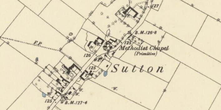
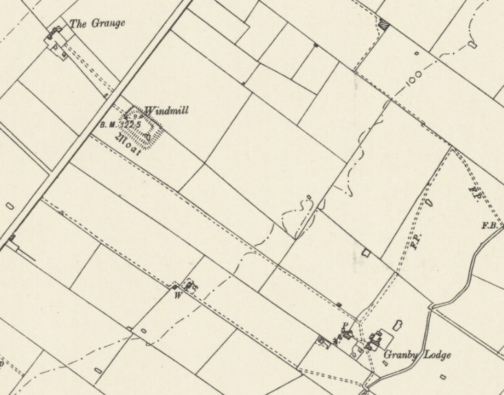
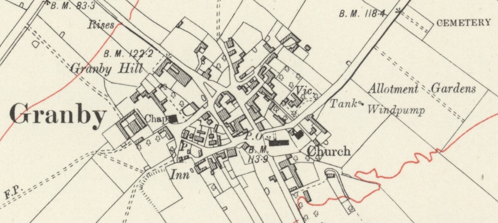
Maps extracted from Ordnance Survey First Series, Sheet 70, scale 1:63360, published in 1856, Nottinghamshire South West published in 1884, revised map 1899, revised map 1921, and published under the Ordnance Survey Public Sector Mapping Agreement license 100053366 |


